Blog
The Drone Revolution
Drone technology has exploded within the last 5-10 years. With this has come industry changing technology that is revolutionising specific sectors. These primary target sectors have been identified as surveying, agriculture, mining, construction and emergency services.
As the technology becomes more robust, powerful and accurate, the uses for this flying unmanned 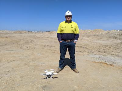 technology grows exponentially. Aerial mapping is the primary function of today’s drones, using an array of different sensors. Industries are now using LiDAR, Infra-red, thermal and multispectral sensors for mission specific objectives to collect relevant data to ensure project success.
With data comes accuracy, and if a drone is able to relay and record its precise position, the uses for search and rescue, survey and reconnaissance, become increasingly relevant. The precise art of survey has challenged drone positioning to gain accuracy that is acceptable within the profession. The emerging survey drones are capable of 20mm positioning accuracy. This is the beginning of a lengthy service in the surveying industry. As drone technology matures, accuracy, power and cost will be shaped to industry needs and become a major player in the modern industrial revolution.
